Taiwan's Wetlands of Importance
Map of Taiwan's Wetlands
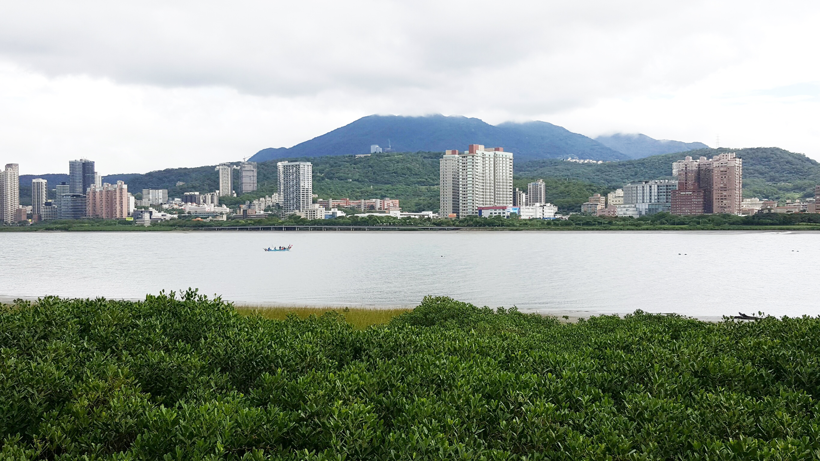
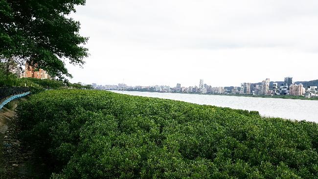
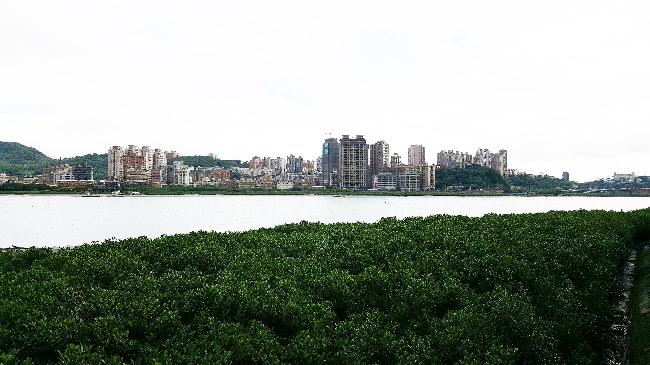
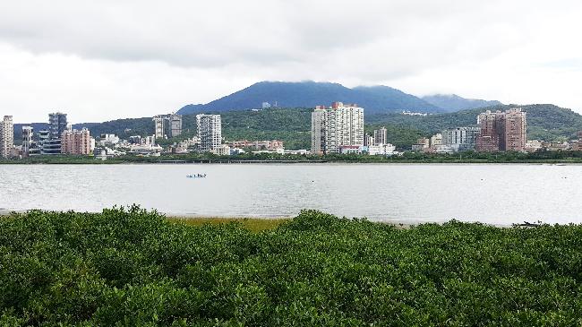
Danshuei River Drainage Important Wetland
Date:2019/04/18
Number of Visitors1441
-
Number
TW004
-
Area
1,788 ha
-
Chinese Name
淡水河流域重要濕地
-
Category
Coastal, manmade and small inland wetlands
-
Name
Danshuei River Drainage Important Wetland
-
Administrative area
Taipei City: Shiin District, Beitou District, Datong District, Wanhua District, Zhongzheng District; New Taipei City: Danshui District, Bali District, Wuzhan District, Luzhou District, Sanchong District, Xinzhuang District, Tucheng District, Shulin District, Banqiao District, Zhonghe District, Yongh
-
Related authorities or units
Taiwan International Institute For Water Education
-
Boundaries
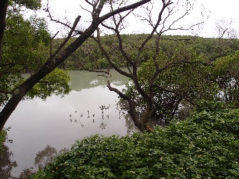
There are 11 sub-wetland within this wetland of importance. They are mainly distributed along the main tributaries of Danshuei River, Dahan River, Xindian River and Erchong Floodway. The sub-wetlands are North-jetty of Port of Taipei Wetland, Wazihwei Wetland, Danshuei River Mangrove Wetland, Guandu Wetland, Wugu Wetland, Dahan-Sindian Wetland, Sinhai Constructed Wetland, Fuzhou Constructed Wetland, Daniaopi Constructed Wetland, Chenglin Constructed Wetland, and Lujiao River Constructed Wetland. The wetland extends east to Daan Irrigation Canal, Lujiao River, a tributary of Dahan River and Danshuei River, as well as Xiulang Bridge of Xindian River, and west to Danshuei Estuary.
-
Introduction
Danshuei River originates from the 3,529-m high Pintian Mountain, the northern tip of Central Mountain Range. The drainage basin is 2,726 km2 and is geographically divided into the basin and the slope. Dahan River Drainage basin is located midstream and the Shihmen Reservoir catchment is upstream. The mountainous terrain slopes from the south to north except the area northwest of Luofu, which is a lower-altitude hill. The elevation ranges from 135 to 3,500 m, sloping from the southeast to northwest and forming a narrow north-south corridor. Danshuei River Drainage Basin is the third largest in Taiwan. Dahan River, Xindian River and Keelung River converge at the Taipei Basin. Dahan River converges with Xindian River in Jiantzecui, and with Keelung River in Guangdu. The drainage basin covers metropolitan Taipei. High population density has resulted in high density landuse, especially along the water front.
-
Ecological resources of importance
Danshuei River Drainage Wetland offers great ecological resources. The mudflat and high riverbank along the drainage basin are habitat for the transient wintering birds and other marsh creatures. A total of 103 families and 429 species are recorded with the Poaceae, Compositae, Leguminosea and Euphorbiaceae being the majority.
A total of 36 families and 98 species of birds have been recorded in this Wetland. Migratory birds such as the Solopacidae, Charadriidae, Sturnidae and Anatidae families are the majority. Most of the clusters forage on the grassland, and some foraging on trees. The majority of the birds recorded are resident birds, followed by wintering migratory birds, and the minority being summer migratory birds. A total of 25 families and 34 species of benthic animals are recorded, with the Palaemonidae as the majority. The number of species and variety of benthic animals are both high. However, the number is higher downstream comparing to upstream due to salinity. -
Endangered species
Black-faced Spoonbill, Peregrine Falcon, and Spotted Greenshank.
-
Rare and valuable species
Chinese Egret, Black Kite, Crested Serpent Eagle, Osprey, Painted Snipe, Little Tern, Brown Noddy.
-
Types to be conserved
Brown Shrike and Eastern Collared Pratincole.
-
The current situation and potential threats of wetlands
Local residents often trespass into the wetland to catch crabs and shrimps, and they also dump waste soil and trash in the area. Trash floating down the Danshuei River is a major threat to the wetland, as is the frequent passing by of MRT trains.
-
Participating in recommended units
Forest Bureau, Council of Agriculture.
Danshuei River Important Wetland
Danshuei River Important Wetland
Danshuei River Important Wetland